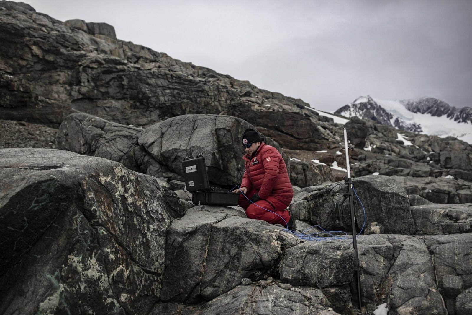

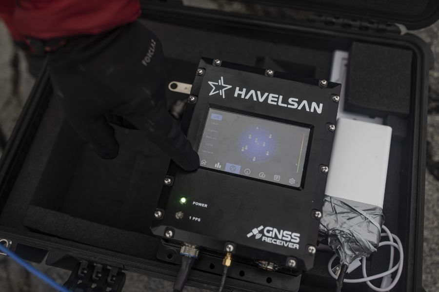
Turkish scientists visiting the Antarctic Zone for the sixth time have completed one of their missions. The Global Positioning System (GNSS) Receiver developed by HAVELSAN took part in the trials. With GNSS, the path of the signal passing through the atmosphere is followed, so that the particle and the change in the atmosphere are observed.
GNSS uses the information it receives from different satellites such as GPS, Galileo, BeiDou, GLONASS, QZSS, which function as Global Positioning Systems. The system creates a position accordingly. The aim is to reach the correct location in geographies where coverage is not much, such as the poles. The system gets its energy from portable power units.
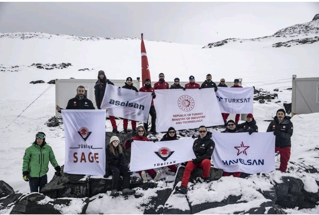 GNSS, HAVELSAN-TUBITAK
Polar Research Center (KARE) cooperation was implemented for the first time
with Teknofest held in the past months. HAVELSAN has developed a system for
marine vessels, but HAVELSAN engineers made the system suitable for civilian
use following the meetings.
GNSS, HAVELSAN-TUBITAK
Polar Research Center (KARE) cooperation was implemented for the first time
with Teknofest held in the past months. HAVELSAN has developed a system for
marine vessels, but HAVELSAN engineers made the system suitable for civilian
use following the meetings.